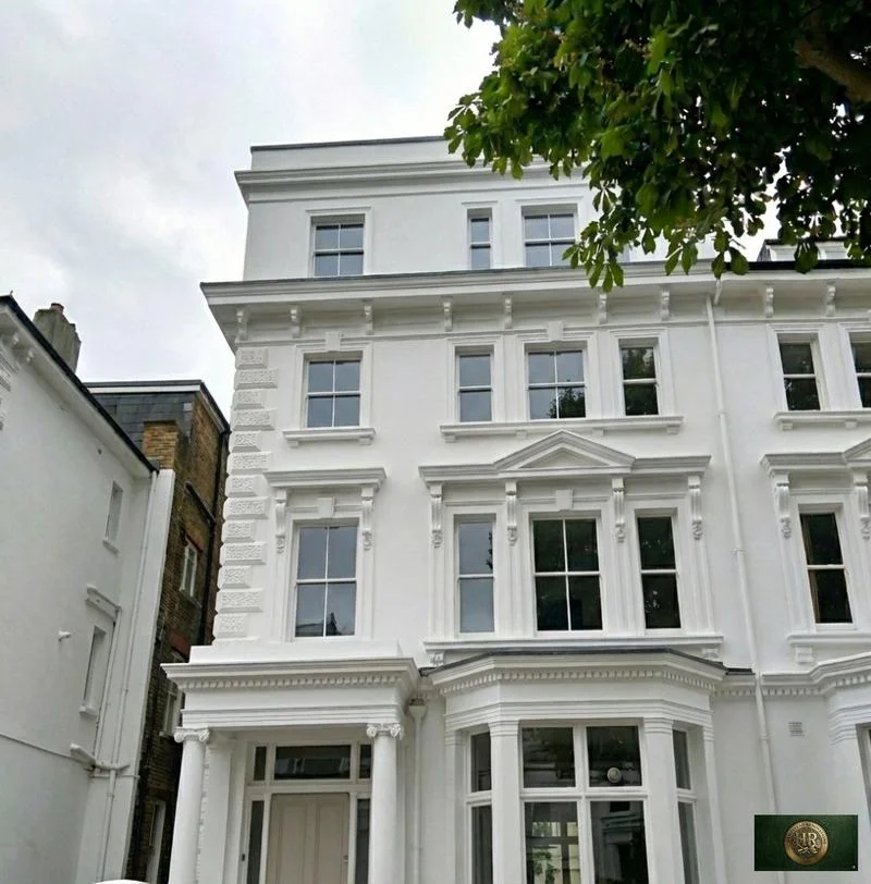
Basement
conversions
in Penn, HP10

Designers, Architects, Engineers & Builders Under One Roof.
One Studio. One Contract. One Team.
A basement is the hardest project to promise in Penn, and we say so at the outset: the ground, the water in it and the foundations next door decide whether one makes sense long before any design is drawn.
The Neighbourhood Plan places the parish on the Chilterns dip slope and plateau, with the chalk overlain by extensive glacial clay with flints. It also notes that the parish has no rivers or streams, which is why ponds once lay beside so many of its commons.
Ground water is not absent, though. The conservation area appraisal ties the early ribbon of houses along Church Road to the abundant ground water found along the ridge top towards Tylers Green.
Sources: Penn Parish Council / Buckinghamshire Council: Penn Parish Neighbourhood Plan 2022-2040, Made Plan (made 8 May 2025); Chiltern District Council and Wycombe District Council (hosted by Buckinghamshire Council): Penn and Tylers Green Conservation Area Appraisal (2008)
What the plans say, and leave unsaid, about Penn basements
Penn has no basement policy of its own. The Neighbourhood Plan's nine policies cover the design code, local heritage assets, carbon and ecology, smaller housing, green infrastructure, green spaces, commercial assets, community facilities and travel, and none of them is written for development below ground.
Digging one is still development. Section 55 of the 1990 Act takes interior works out of planning control but keeps in works begun after 5 December 1968 that alter a building by adding space underground, so a new basement is assessed as development rather than treated as internal work.
Most of the parish is washed over by Green Belt, where the 1997 plan's GB13 measures any extension against the original dwelling it serves and its effect on the landscape, and national policy asks whether the addition is disproportionate. How underground floorspace is weighed against those tests is a question we put to Buckinghamshire Council before design, rather than assume.
Sources: Penn Parish Council / Buckinghamshire Council: Penn Parish Neighbourhood Plan 2022-2040, Made Plan (made 8 May 2025); legislation.gov.uk (The National Archives): Town and Country Planning Act 1990, section 55 (meaning of development); Chiltern District Council: Chiltern District Local Plan, adopted 1 September 1997 (alterations 29 May 2001; consolidated September 2007 and November 2011); MHCLG (GOV.UK): NPPF Chapter 13, Protecting Green Belt land (GB1-8) (August 2026)
Surface water, groundwater and source protection
River flooding is not Penn's problem; the plan rates it very low. Surface water is: the plan calls that risk considerably higher, especially on the roads between the five villages, and the area's 2018 flood risk assessment warns that flooding from intense rainfall can arrive fast and put lives at risk in confined spaces, basements among them.
The Environment Agency finds groundwater flooding most common over chalk bedrock, and the same assessment finds chalk dominating the northern parts of the Chiltern and South Bucks area. It asks developers to weigh all of its data to judge groundwater risk on each site, and points out that ground outside its mapped Areas of Critical Drainage can still send water downhill into them.
The Environment Agency's source protection zone layer returns zones 2 and 3 at the map points for Penn and Knotty Green. Zone 1, the ring immediately around an abstraction point for domestic supply, is where the Agency will normally object in principle to anything that may physically disturb the aquifer, and it names basement excavations among such activities; anywhere, it agrees to work that could obstruct groundwater flow only with agreed mitigation.
A site-based review, in practice a detailed flood risk assessment, is in the assessment's own word essential as part of the application and design, and where groundwater risk is raised the flood authority may ask for more evidence that the site will stay safe without pushing flood risk elsewhere.
Sources: Penn Parish Council / Buckinghamshire Council: Penn Parish Neighbourhood Plan 2022-2040, Made Plan (made 8 May 2025); Chiltern and South Bucks District Councils: Strategic Flood Risk Assessment Level 1 (November 2018); Environment Agency: The Environment Agency's approach to groundwater protection (LIT 7660; under review); Environment Agency (Defra Data Services Platform): Source Protection Zones merged, WFS query at the OS Open Names point for Penn; Environment Agency (Defra Data Services Platform): Source Protection Zones merged, WFS query at the OS Open Names point for Knotty Green; Environment Agency (GOV.UK): Groundwater source protection zones (SPZs) (last updated 1 August 2024)
Foundations next door and roots in the garden
A dig that comes close to the house next door, the distance being 3 or 6 metres according to how deep it goes, needs notice under the Party Wall etc. Act 1996, and so does excavating below and near the neighbour's foundations. The notice has to carry plans and sections showing where the excavation is and how deep.
The plan calls the parish distinctively wooded. Its design code wants tree root zones protected so trees can reach their mature size, and it requires root barriers wherever foundations, walls or underground services are at risk of damage.
Underpinning is building work in its own right under regulation 3. Once a basement holds habitable rooms, Approved Document B wants a way out of it: either a window or outside door that escape can be made through, or a protected stair that runs to a final exit.
Our London team takes on basement work in Penn only once the ground and water checks are back: in-house architects and designers, our structural engineers for the retaining walls and underpinning, and Hampstead Chartered Surveyors & Building Consultancy for the building survey. Buckinghamshire Council decides any planning application, and Buckinghamshire Council's building control service or a private registered building control approver signs off the construction.
Sources: GOV.UK: The Party Wall etc. Act 1996 explanatory booklet; GOV.UK: Party walls and building work - work you must tell your neighbour about; Penn Parish Council / Buckinghamshire Council: Penn Parish Neighbourhood Plan 2022-2040, Made Plan (made 8 May 2025); Penn Parish Council / AECOM, published by Buckinghamshire Council: Penn Parish Design Guidance and Codes, final report (September 2023), Appendix A to the Penn Parish Neighbourhood Plan; legislation.gov.uk (The National Archives): The Building Regulations 2010 (SI 2010/2214), regulation 3, meaning of building work (latest available revised); GOV.UK (MHCLG): Approved Document B (fire safety) volume 1: Dwellings, 2019 edition incorporating 2020, 2022, 2025 and 2026 amendments and forthcoming 2029 changes; Buckinghamshire Council: Local Development Scheme, 3. Our current plans and documents (last updated 16 March 2026); Buckinghamshire Council: Building regulations and control; GOV.UK: Building regulations approval - when you need approval
The order of checks for a Penn basement
We begin with a desk study of the address on the Environment Agency's flood and groundwater maps, then dig trial pits or sink boreholes to find where the clay gives way to chalk and whether water stands in the hole.
Where the first groundwater readings are borderline, they are repeated on later visits, the drainage levels are surveyed to the public sewer, and only then do we advise whether a basement, a smaller cellar or neither suits the plot.
If the answer is no, we say so plainly and look at what the same space could become above ground instead.
Outside Penn, and in London rather than Buckinghamshire: Project example: Hampstead, NW3. That project of ours is a completed project whose recorded work comprised a new basement with a cinema room, gym and wine cellar, as its case study states.
Sources: Hampstead Renovations: Fitzjohns Avenue, NW3 case study
Basement Conversions in Penn: Questions
Where should I look first for flood risk before considering a Penn basement?
Begin with the Environment Agency's planning flood map, the service that supplies flood risk information for planning applications. The Neighbourhood Plan rates river flooding in Penn very low but surface water risk considerably higher, so for a basement we follow the map with a site-based flood risk assessment, which the area's flood risk study calls essential.
Could groundwater under a Penn house rule out a basement?
It can. Chalk bedrock is where groundwater flooding is most common, and Penn's chalk lies beneath glacial clay with flints; the appraisal links Church Road's early houses to abundant ground water on the ridge. The Environment Agency's layer returns source protection zones 2 and 3 at the Penn and Knotty Green points, which we check against your exact address.
Would a Penn basement be counted in the Green Belt size test?
Neither the 1997 plan nor the Neighbourhood Plan answers that in terms. GB13 weighs an extension against the size of the original dwelling and its landscape impact, adding in earlier extensions, and national policy looks for anything disproportionate, so we raise the basement question with the council before design begins.
Will digging a Penn basement involve my neighbours under the Party Wall Act?
Usually. A basement dig close to next door's building, within 3 or 6 metres according to depth, or below and near their foundations, needs notice with plans and sections attached. If the neighbour disputes it, the Act has a surveyor or surveyors settle the matter.
Who checks a Penn basement against the building regulations?
Buckinghamshire Council's building control service or a private registered building control approver. Underpinning is controlled building work, and a basement used as living space needs an escape window or outside door, or a protected stair up to a final exit.
Which investigations happen before a Penn basement is designed?
A desk study of the flood and groundwater maps, then trial pits or boreholes, groundwater monitoring, a drainage survey, a tree survey near the dig and a condition survey of neighbouring buildings. You can look up the Environment Agency's groundwater source protection zones on the Magic map before we start.
Book a feasibility visit
Request a visit
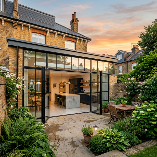
Completed renovation project example