
Welwyn Hatfield · Hertfordshire

Welwyn Hatfield Renovations & Design-Build — Hertfordshire

Updated 5 November 2026

Refurbishments and extensions for houses in the south of Welwyn Hatfield, surveyed, designed, engineered and built by our London team, who work from the Finchley Road studio in Hampstead, NW3.

This is the borough reference our Cuffley pages point back to. It sets out the plan that decides applications, the council's Green Belt test, quoted from its plan, a section on Brookmans Park, the ground beneath the southern villages, heritage controls and building regulations sign-off, with the documents behind each section listed under it.

Serving Welwyn Hatfield from our Hampstead studio · NW3 6DN
020 7101 3168

Hampstead Renovations design and build studio on Finchley Road
Our Hampstead studio · Finchley Road, NW3 6DN

Welwyn Hatfield villages

Choose your Welwyn Hatfield village

01 Two services

Cuffley

Cuffley has its own page, which reads the borough rules set out below against the village itself: its neighbourhood plan and design code, its flood position and the Green Belt around its edge. From there you reach our Cuffley pages for house refurbishment and house extensions. Brookmans Park is covered further down this page.

  • House refurbishment
  • House extensions
  • Neighbourhood plan design code
Explore Cuffley

The plan in force

The 2023 Local Plan and the new plan to 2043

Householder applications in the borough are decided by Welwyn Hatfield Borough Council against the Welwyn Hatfield Local Plan 2016-2036 (adopted 12 October 2023). On adoption it replaced the saved policies of the District Plan 2005, and the council's page says it now forms part of the statutory Development Plan for the borough, with full weight when applications are determined.

Neighbourhood plans, once made, sit alongside it when applications and development decisions are determined. The borough has one so far, for the Northaw and Cuffley parish area. It was the first neighbourhood plan made in the borough, after a referendum on 4 May 2023 in which more than half of those voting supported it, and it is used to help determine applications within its area.

A replacement is on its way. The council is preparing a new Local Plan to guide how the borough develops to 2043, including homes, jobs, infrastructure and environmental protection. It consulted on a draft under Regulation 18 from 12 February to 26 March 2026, and its Regulation 19 consultation on the Proposed Submission document covers 23 September to 5 November 2026.

The Regulation 19 stage invites representations on soundness and legal compliance before the plan is submitted to the Secretary of State and independently examined. Until that process ends in adoption, the draft is emerging policy, and the 2023 plan is the one that carries full weight.

We draw each Welwyn Hatfield scheme against the adopted policies, read the emerging draft for the direction it signals, and look at both again on the day an application is lodged, so nothing in the planning statement leans on a policy that has moved.

Unsure whether a project needs an application at all? The council strongly recommends getting its advice before making a planning application, to identify potential problems early on.

Sources: Welwyn Hatfield Borough Council: Local Plan (Adopted Local Plan - October 2023); Welwyn Hatfield Borough Council: Welwyn Hatfield Local Plan 2016-2036 (adopted 12 October 2023); Welwyn Hatfield Borough Council: Northaw and Cuffley Neighbourhood Plan; Welwyn Hatfield Borough Council: Northaw and Cuffley Neighbourhood Plan Regulation 19 Decision Statement; Welwyn Hatfield Borough Council: Our Local Plan (Regulation 19 consultation); Welwyn Hatfield Borough Council: Pre-application advice (planning applications)

Excluded villages

Brookmans Park and Cuffley as large excluded villages

The plan's settlement hierarchy puts Welwyn, Welham Green, Brookmans Park and Cuffley in one tier, the large excluded villages, and defines that tier as villages excluded from (not in) the Green Belt with large service centres.

For those villages the hierarchy reads as a secondary focus for new development where this is compatible with the scale and character of the village, and the maintenance of Green Belt boundaries. One rung lower, Little Heath is a small excluded settlement, which the plan describes as forming a northern extension of the town of Potters Bar in Hertsmere.

Northaw belongs to another tier altogether. Together with Lemsford, Essendon and Newgate Street it is one of the Green Belt villages, which the plan describes as set in open countryside and washed over by (within) the Green Belt.

Brookmans Park

The plan places Brookmans Park in the south of the borough, beside the Great North Road (now the A1000) between Welham Green and Little Heath, with its village centre at the very western end of the village.

Cuffley

Cuffley is in the borough's south east, between Potters Bar and Cheshunt. It is the largest of the borough's villages, with a station on the Hertford Loop Line, although the plan notes relatively poor connections to the rest of Welwyn Hatfield.

What the label means for one house is settled by a map. Green Belt boundaries are shown on the Policies Map: a house inside an excluded village is outside the Green Belt, while a plot beyond the village boundary, or anywhere in Northaw, falls under Policy SADM 34, set out in the next section.

Inside the villages the borough policy most householder schemes meet is SADM 11, on amenity and layout. It asks every proposal to create and protect a good standard of amenity: satisfactory sunlight and daylight in buildings and gardens, a reasonable degree of privacy with overlooking limited to an acceptable degree, and nothing overbearing upon existing buildings and open spaces. It also supports a granny annex where the extension is modest in size and subordinate in scale to the main dwelling, designed to work as an integrated part of it.

Before advising which policies a scheme will be read against, we check the Policies Map for the whole plot, including the garden and any outbuildings, not only the footprint of the house.

Sources: Welwyn Hatfield Borough Council: Welwyn Hatfield Local Plan 2016-2036 (adopted 12 October 2023)

Green Belt

Policy SADM 34 for extensions and replacement dwellings

Within the Green Belt as defined on the Policies Map, SADM 34 grants planning permission for development in accordance with national policy and the plan's other policies, subject to its criteria. For houses, the criteria on extensions and on replacement buildings are the ones that decide most cases, and both are reproduced here exactly.

Local Plan, adopted 12 October 2023

SADM 34: extensions and alterations

“Applicants will need to demonstrate that extensions and alterations to a building would not result, either individually or cumulatively, in disproportionate additions over and above the size of the original building(77), in terms of bulk, scale, height or massing. Account will be taken of the extent to which the extension and/or alteration would be consistent with the general pattern of development and character of the area and its prominence within the landscape.”

Local Plan, adopted 12 October 2023

SADM 34: replacement buildings

“Replacement buildings will be permitted provided that the new building is not materially larger than the one it replaces in terms of its footprint, height and external volume and is in the same use. In assessing the impact of the proposal the Council will take into account:

  • i. The location of the replacement building and its prominence within the landscape;
  • ii. The extent to which the proposed development is consistent with the general pattern of development and character of the area”

Footnote 77 sets the baseline: “Original is a building as it existed on 1st July 1948 or as originally built after 1st July 1948. Where an existing building has replaced an original building any increase in size over the original building will be taken into account in assessing cumulative impact”. The policy goes on: “Consideration will be given to the removal of permitted development rights where considered necessary to protect the openness of the Green Belt.”

Supporting text to SADM 34

Paragraph 24.10: what counts as disproportionate

“In determining what would constitute a disproportionate extension to a building, a quantitative and qualitative assessment will be undertaken. In quantitative terms, proposals that would result in the footprint, volume and/or above ground external dimensions (height, width) of a building being 50% greater than the original building would generally be refused. However each case will be assessed on its own merits as there may be circumstances in which a particular proposal for an extension in excess of 50% may be proportionate and acceptable. Conversely circumstances may dictate that an extension would need to be significantly less than 50% greater than the original dwelling in order to be considered proportionate and acceptable in planning terms. Any increase in footprint, volume and/or external dimensions will also be considered as part of a qualitative assessment of the design elements relating to scale, bulk and massing within the context of the site. This will determine the acceptability of any extension in relation to the size of the original dwelling including the impacts on the elevation to which it relates, its relationship to the original building, its location in the site and the wider context.”

Supporting text to SADM 34

Paragraph 24.12: garden buildings

Paragraph 24.12 counts a garden or other incidental building that is put up, enlarged or rebuilt less than 5 metres from the house as part of an extension to the house itself. Enlarging or rebuilding one that stands further than 5 metres away is judged by the same criteria as extending or replacing the original building.

A new free-standing incidental building more than 5 metres away is considered against the plan's policy for new buildings in the Green Belt, not as an extension.

The supporting text begins from acceptance: in principle, dwellings in the Green Belt may be extended or replaced to meet the changing needs and circumstances of occupiers. Acceptability is tied to the size of the original building rather than to how big the plot is or how large the neighbouring buildings are. Applications will be refused where an extension, on its own or taken together with extant permissions and previous extensions, would make the additions disproportionate to the original building. How an extension affects the character or appearance of the area also weighs significantly.

Paragraph 24.11 lets buildings due for demolition on the site be offset against the increase, weighing how large, how permanent and how well designed they are, and how close they stand to the building being extended or replaced. Its example is a replacement house with an integral garage, built once an existing detached garage has been demolished.

National policy points the same way. Among the kinds of building work that the National Planning Policy Framework does not treat as inappropriate in Green Belt land is extending or altering a building that is lawful and of permanent, substantial build, so long as the work will not result in a disproportionate increase in size compared to the original building, the original being the building as it stood on 1 July 1948 or, for anything put up after that date, as it was first built.

For a Green Belt house the arithmetic comes first. We establish the original building from the planning history and early drawings, measure every later extension and outbuilding, and set the footprint, volume and height of the proposal against them before the design is fixed, so the planning statement can show the paragraph 24.10 comparison alongside the design reasoning rather than after it.

Sources: Welwyn Hatfield Borough Council: Welwyn Hatfield Local Plan 2016-2036 (adopted 12 October 2023); MHCLG (GOV.UK): NPPF Chapter 13, Protecting Green Belt land (GB1-8) (August 2026)

Brookmans Park

Building work in Brookmans Park

Brookmans Park is covered here rather than on a page of its own. A sample postcode in the village, AL9 7SU, falls in North Mymms parish and the Brookmans Park and Little Heath ward, and AL9 postcodes are shared between Welwyn Hatfield and East Hertfordshire.

The Local Plan describes the village as having relatively formal, regular street layouts with predominately large detached housing at low densities. Census 2021 found 2,628 households in the ward as a whole: 46.3% in detached houses, 30.4% semi-detached, 11.4% terraced and 8.3% in purpose-built blocks of flats. In the ward's Little Heath part the plan sees a similar pattern of relatively formal, regular street layouts with detached housing at low densities.

Heating there is mostly gas: the census recorded 77.4% of the ward's households on mains gas only and 3.7% on oil only. That shapes a refurbishment brief, since replacing a boiler, adding a heat pump or bringing an oil tank into the plans each changes the plant space, flue and pipework the drawings must allow for.

There is no conservation area and no neighbourhood plan to add. Brookmans Park is not among the ten conservation areas the council lists, and the only neighbourhood plan adopted in the borough covers the Northaw and Cuffley parish area, not North Mymms. A Brookmans Park application is therefore read against the Local Plan and national policy: SADM 11 for a house inside the large excluded village, and SADM 34 for a plot beyond its Green Belt boundary.

We take on a Brookmans Park house in the same order as any other in the borough: a measured survey, the Policies Map and the planning history, then drawings for Welwyn Hatfield Borough Council. For a home across the London boundary, our High Barnet and Cockfosters pages cover the London side.

Sources: postcodes.io (ONSPD-derived): postcode AL9 7SU (Brookmans Park); postcodes.io (ONSPD-derived): outcode AL9; Welwyn Hatfield Borough Council: Welwyn Hatfield Local Plan 2016-2036 (adopted 12 October 2023); ONS/Nomis: Census 2021 TS044, Brookmans Park and Little Heath ward; ONS/Nomis: Census 2021 TS046, Brookmans Park and Little Heath ward; Welwyn Hatfield Borough Council: Planning considerations for conservation areas

Ground conditions

Aquifers and the chalk-mine hazard policy

Apart from Welwyn, most settlements in the borough sit atop higher ground, which is why the plan finds its built up areas at a relatively low risk of flooding from rivers, although surface water and ground water remain risks.

Underground, the borough divides in two. The Lee and Mimram in the northern half are underlain by a major chalk aquifer. The southern half is underlain by various minor aquifers, important for more local water supplies, and its soil geology renders it less susceptible to pollution. The plan places Brookmans Park in the borough's south and Cuffley in its south east.

That bears on drainage design. For soakaways and other SuDS meant to encourage infiltration, the plan calls it imperative that the water table is low enough and that a site-specific infiltration test is conducted; where a site lies within or close to a groundwater source protection zone or an aquifer, further restrictions may apply and the Environment Agency's guidance should be sought.

Chalk mines are a separate matter with their own council page. It asks anyone planning development where chalk mines may be present to consider the council's policies, and says that their presence does not prevent development, though there is often a technical solution required to overcome the issue.

High risk

The council's risk assessment of the application leads it to ask for a geotechnical report submitted with the application.

Moderate risk

A condition on the planning permission requires a report to be submitted before the works start.

Very low risk

You are advised to keep a watching brief on the building works as they progress.

Where a chalk mine may be present, the page says you may need a detailed report at your own expense and advice from a planning officer before an application goes in, and it links a map of chalk mine hazard areas. In every case, it says, responsibility and liability for safe development and secure occupancy of the site rest with the developer and/or landowner.

For flood risk at one address, the council points to its Strategic Flood Risk Assessment for land in the borough, and the Environment Agency's flood map for planning gives the flood information a planning application needs.

For every address we consult the chalk hazard map and the flood information before the structural engineer designs foundations or drainage, and where a ground report is called for we commission it while the planning drawings are still open to change.

Sources: Welwyn Hatfield Borough Council: Welwyn Hatfield Local Plan 2016-2036 (adopted 12 October 2023); Welwyn Hatfield Borough Council: Planning considerations about chalk mines; Welwyn Hatfield Borough Council: Planning considerations for flooding; Environment Agency (GOV.UK service): Get flood risk information for planning in England (Flood map for planning)

Heritage

Welwyn Hatfield's conservation areas and Article 4 directions

The council lists ten conservation areas, “areas of special architectural or historic interest which it is desirable to preserve or enhance”: Welwyn Garden City town centre and residential areas to the west; the Beehive area of Welwyn Garden City; the historic cores of Ayot Green, Ayot St. Lawrence, Welwyn village, Essendon, Old Hatfield and Northaw; and the Peartree and Lemsford conservation areas.

Control of development is much stricter inside them. Permitted development rights are reduced, and the council's examples of changes that then need permission include raising the ridge of a roof, dormer windows, cladding, extensions and the use of other materials. It asks for original doors and windows to be repaired wherever possible, or replaced with ones that match the originals as closely as possible.

Demolishing an unlisted building in a conservation area without the required permission is a criminal offence. Trees there are given special protection, and anyone wishing to work on them must notify the council first. The council encourages a pre-application request before any application, and its online map shows whether an address falls in a conservation area.

In the Northaw and Cuffley parish, the conservation area is Northaw's historic core. The neighbourhood plan describes Northaw as a more historic village with a Conservation Area covering its historic core and Listed Buildings, washed over by Green Belt, and counts a total of 29 listed buildings in the parish.

Article 4 directions remove permitted development rights over certain works. The council's current list covers a number of employment sites across the borough, additional storeys on existing blocks of flats in Hatfield, conversion of homes into HMOs in Hatfield, and land at Digswell Park Road. It also includes land to the west of Vineyards Road, Northaw, where a direction confirmed on 28 September 2021 followed the sale or auction of parts of the land as individual plots; it removes permitted development rights there for items such as fences and the temporary use of the land within the green belt.

The council adds that a number of historic Article 4 directions are also in place, so the current list is not the whole story for an older property.

For a house in or beside a conservation area we photograph and record the joinery, roof coverings and boundary walls at survey, list repairs apart from alterations in the specification, and search the planning history for any older direction before advising on permitted development.

Sources: Welwyn Hatfield Borough Council: Planning considerations for conservation areas; Northaw and Cuffley Parish Council / WHBC: Northaw and Cuffley Neighbourhood Plan 2022 to 2036 (referendum version); Welwyn Hatfield Borough Council: Article 4 Directions
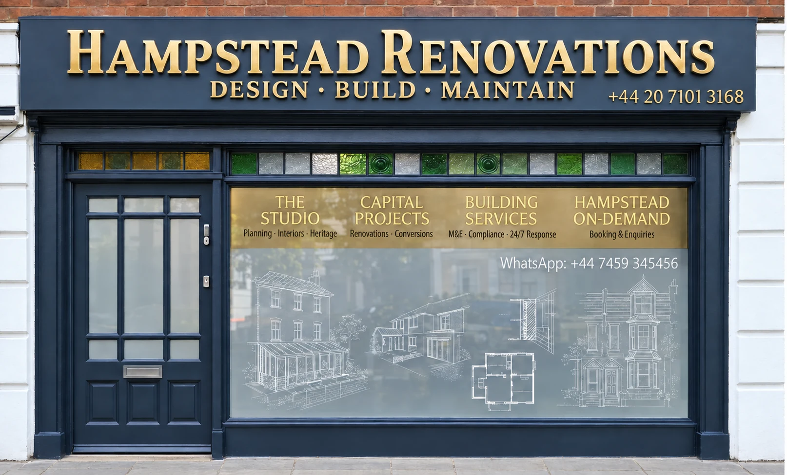
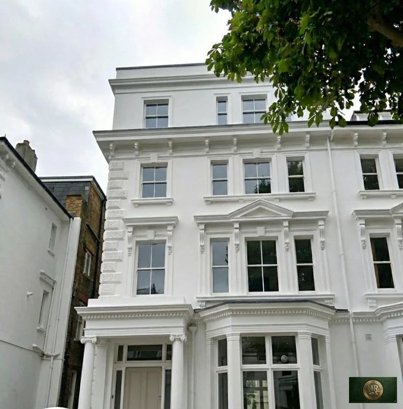
Our Hampstead base, serving Welwyn Hatfield

Talk to our Finchley Road studio

Our studio is in Hampstead on Finchley Road, at NW3 6DN. We serve Welwyn Hatfield from this office. Bring us the practical questions about your house, flat or bathroom and the result you want to achieve.

Contact the studio to discuss your brief and arrange the next step. If you already have drawings, a lease or planning correspondence, tell us what is available.

Book a free feasibility visit
Hampstead Renovations
Unit 3 Palace Court
250 Finchley Road
London NW3 6DN

020 7101 3168
contact@hampsteadrenovations.co.uk

Find our studio on Google Maps

Sign-off

Building control for Welwyn Hatfield addresses

Hertfordshire Building Control states that it is the Building Control Authority for Welwyn Hatfield, as it is for seven other Hertfordshire districts. Government guidance leaves the choice to you: the council-side service, or a registered building control approver from the private sector, which tells the local authority about the work through an initial notice.

Building regulations approval is separate from planning permission, and a project may need both. On the local authority route, work is inspected as it proceeds, with the builder or owner notifying building control at set stages from commencement and foundation excavations through to a completion inspection. The completion certificate that follows is the proof an owner will need when the property is sold.

Our London team (in-house architects, designers and structural engineers, working with Hampstead Chartered Surveyors & Building Consultancy) takes on house projects across Welwyn Hatfield from the Finchley Road studio in Hampstead, NW3. Planning applications go to Welwyn Hatfield Borough Council. For building regulations we agree with you at the start whether Hertfordshire Building Control or a private registered approver will check the work, then book each inspection it needs and hand the certificates over at the end.

Outside Welwyn Hatfield, and in London rather than Hertfordshire: Project example: Belsize Park, NW3. That project of ours is a Victorian townhouse of five storeys; its case study records a basement conversion, a rear extension and loft work, carried out together with a full refurbishment of the interior.

Sources: Hertfordshire Building Control: Regulatory information; GOV.UK: Building regulations approval - when you need approval; GOV.UK: Building regulations approval (printable guide); Hertfordshire Building Control: FAQs; Hampstead Renovations: Belsize Park Gardens, NW3 case study

Welwyn Hatfield questions

Planning and building in Welwyn Hatfield: common questions

Which plan decides an application in Welwyn Hatfield?

The Welwyn Hatfield Local Plan 2016-2036 (adopted 12 October 2023). It replaced the saved policies of the 2005 District Plan and carries full weight, together with any made neighbourhood plan, which in the Northaw and Cuffley parish means the Northaw and Cuffley Neighbourhood Plan. A new plan to 2043 went out to Regulation 19 consultation from 23 September to 5 November 2026, but it remains emerging policy until it has been examined and adopted.

Are Brookmans Park and Cuffley in the Green Belt?

No. The Local Plan lists both as large excluded villages, meaning villages excluded from (not in) the Green Belt. The Green Belt begins at their boundaries, which are drawn on the Policies Map, so a plot beyond a village boundary is assessed under Policy SADM 34. Northaw, in Cuffley's parish, is different: the plan names it a Green Belt village, one the Green Belt washes over.

How does SADM 34 test an extension in the Green Belt?

Applicants must show that extensions and alterations would not result, individually or cumulatively, in disproportionate additions over and above the size of the original building, in terms of bulk, scale, height or massing. Paragraph 24.10 adds that proposals making a building's footprint, volume or above ground external dimensions 50% greater than the original would generally be refused, although each case is assessed on its own merits and a smaller figure may be needed. The baseline is the building as it stood on 1 July 1948, or as first built if it went up after that date.

Does Brookmans Park have a conservation area or a neighbourhood plan?

Neither. Brookmans Park is not among the ten conservation areas the council lists, and the only neighbourhood plan adopted in the borough covers the Northaw and Cuffley parish area, whereas Brookmans Park is in North Mymms parish. Applications there are decided on the Local Plan and national policy.

Is there a chalk-mine hazard policy in Welwyn Hatfield, and where does it apply?

Yes. The council's chalk-mine policies apply wherever chalk mines may be present, and its page links a map of chalk mine hazard areas to check an address against. After its own risk assessment it may ask for a geotechnical report with the application, for a report before works start under a planning condition, or for a watching brief during the building work. A chalk mine does not prevent development, but there is often a technical solution required.

Who provides building control in Welwyn Hatfield?

Hertfordshire Building Control is the Building Control Authority for Welwyn Hatfield. You can use it as the local authority service, or appoint a private registered building control approver instead, in which case that approver serves an initial notice on the local authority. Whichever you use, keep the completion certificate, because you will need it as proof when you come to sell.

Independent
Surveying
Hampstead Renovations operates alongside Hampstead Chartered Surveyors & Building Consultancy — an RICS Regulated firm providing chartered building surveying, under shared directorship.

Book a free feasibility visit

Hertfordshire overview
Renovations in Hertfordshire →

See how Welwyn Hatfield fits within our wider Hertfordshire pages.

Full Service Directory

Pages for Welwyn Hatfield

Every town page we publish for Welwyn Hatfield.

Welwyn Hatfield

Cuffley →

Chat with us!