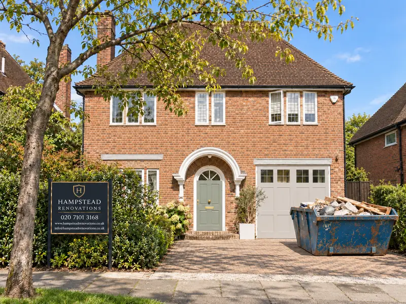
Surrey · Run from Finchley Road, NW3

Surrey Renovations & Design-Build

Updated 2 November 2026

Whole-house renovation, extensions, loft and basement conversions for Surrey homeowners, planned and built by one team working out of our Hampstead studio.

Start here for the checks that apply wherever the house is in the county: which council decides, what national rules allow without an application, and the landscape, heathland and flood designations to look up first. The Elmbridge and Runnymede pages then carry each council's own plan, Green Belt wording and flood guidance.

Serving Surrey from our Hampstead studio · NW3 6DN
020 7101 3168

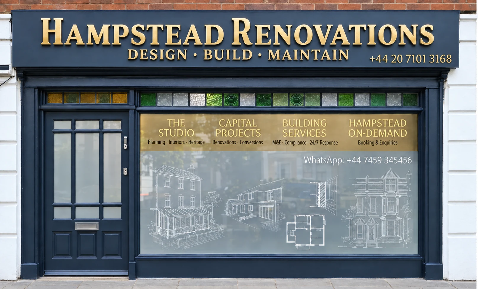
Hampstead Renovations design and build studio on Finchley Road
Our Hampstead studio · Finchley Road, NW3 6DN

District guides

Our Elmbridge and Runnymede guides

01 East Surrey from 2027

Elmbridge

The Elmbridge guide sets out the Development Management Plan's Green Belt policy in the policy's own words, explains which adopted plan decides an application today, and sets out the 2024 flood assessment's basement rules. It also covers the borough's conservation areas, local list, Design Code and building control.

  • Core Strategy and Development Management Plan
  • Policy DM18 in its own words
  • Basements, flood zones and groundwater
Explore Elmbridge

02 West Surrey from 2027

Runnymede

The Runnymede guide sets out the 2030 Local Plan, the timetable for the plan that replaces it and policy EE14's Green Belt considerations, basements included. It also covers the Virginia Water and Englefield Green neighbourhood plans, the heathland rules for new homes and flooding from the Thames and the Bournes.

  • Runnymede 2030 Local Plan
  • Green Belt policy EE14 in the council's words
  • Neighbourhood plans and flood risk
Explore Runnymede

Before any drawing

How we take on work in Surrey

Every Surrey project is designed and managed at our Hampstead studio on Finchley Road, NW3. There is no office or branch in the county: the team that plans London renovations travels out to the house, and the free feasibility visit is offered in Surrey on the same terms as in London.

Before anyone draws, we look the address up against everything that changes what can be built there: which council decides, whether the building is listed, whether a conservation area covers it, whether it sits on Article 2(3) land, inside the Surrey Hills National Landscape or the Green Belt, near protected heathland, or in a flood zone. Those answers decide whether the work can rely on permitted development or needs an application, and they shape the brief we agree with you.

  1. Address and designations

    We check the council, its adopted plan and every designation on the address before we visit, so the first conversation at the house starts from the constraints instead of discovering them halfway through design.

  2. Free feasibility visit

    We walk the house and garden with you, look at the structure, roof, drainage and access, and talk through the changes you have in mind and how far the designations allow them.

  3. Measured survey and drawings

    A measured survey produces the existing drawings that everything later relies on: the planning set, the structural design and the building regulations package.

  4. Design and consent route

    We develop the scheme with you and settle whether it relies on permitted development, goes in as a householder application, or also needs listed building consent, then prepare whichever submissions apply.

  5. Engineer, regulations and party walls

    A structural engineer designs beams, foundations and any underpinning; we make the building regulations application and serve party wall notices where the work affects a shared wall or excavates close to a neighbour.

  6. Site set-up, build and handover

    We protect the house, garden and access before work starts, run the build with our own site team, and hand over with the building control completion and drawings of what was actually built.

Ready to take the next step? Send the property address and a short outline of what you want to change.

Book a free feasibility visit

Councils and dates

Who decides planning in Surrey, before and after 1 April 2027

The Surrey (Structural Changes) Order 2026 abolishes the County of Surrey as a local government area on 1 April 2027 and winds up and dissolves the county council on that date. Two new councils take over: East Surrey Council and West Surrey Council, each established as the sole principal authority for its own area.

Until then an applicant deals with exactly the same councils as now. The Future Surrey hub says the existing county, borough and district councils “will operate as normal until 1 April 2027”, and asks residents to keep contacting their existing council about any service.

The five districts that become East Surrey

The Order names Elmbridge, Epsom and Ewell, Mole Valley, Reigate and Banstead and Tandridge. Planning decisions in each sit with:

  • Elmbridge: Elmbridge Borough Council until 31 March 2027; East Surrey Council from 1 April 2027
  • Epsom and Ewell Borough Council until 31 March 2027; East Surrey Council from 1 April 2027
  • Mole Valley District Council until 31 March 2027; East Surrey Council from 1 April 2027
  • Reigate & Banstead Borough Council until 31 March 2027; East Surrey Council from 1 April 2027
  • Tandridge District Council until 31 March 2027; East Surrey Council from 1 April 2027

The six districts that become West Surrey

The Order names Guildford, Runnymede, Spelthorne, Surrey Heath, Waverley and Woking. Planning decisions in each sit with:

  • Guildford Borough Council until 31 March 2027; West Surrey Council from 1 April 2027
  • Runnymede: Runnymede Borough Council until 31 March 2027; West Surrey Council from 1 April 2027
  • Spelthorne Borough Council until 31 March 2027; West Surrey Council from 1 April 2027
  • Surrey Heath Borough Council until 31 March 2027; West Surrey Council from 1 April 2027
  • Waverley Borough Council until 31 March 2027; West Surrey Council from 1 April 2027
  • Woking Borough Council until 31 March 2027; West Surrey Council from 1 April 2027

What vesting day does not change is the plan an application is measured against. The Order is made under section 7 of the Local Government and Public Involvement in Health Act 2007, which brings in regulation 19 of the 2008 transitional regulations: a local plan or local development document adopted by a predecessor council before the reorganisation date has effect on and after that date as if it had been adopted by that council's related planning successor, for the part of its area that corresponds to the area the plan relates to. Regulation 19(1) has read that way since 25 March 2026.

The inherited plans are a starting point, not a permanent arrangement. Regulation 19(4) requires each new single tier council to adopt a local plan covering the whole of its area within five years starting with the reorganisation date, and until it has, regulation 19(5) lets it revise or replace an inherited plan for the part of its area that was a predecessor council's area.

Highway consents follow the same change. Until 31 March 2027 a dropped kerb (vehicle crossover) needs approvals from both Surrey County Council and the local district or borough council, which tells you whether planning permission is required. From 1 April 2027 East Surrey Council or West Surrey Council, depending on the address, holds both roles, because each new council replaces the district councils in its area as well as the services the county council provides now. The county council's page says applicants must use one of its approved contractors and that works on the footway without its permission are an offence.

Sources: The Surrey (Structural Changes) Order 2026 (S.I. 2026/264), article 3; legislation.gov.uk (The National Archives): The Surrey (Structural Changes) Order 2026 (S.I. 2026/264); Surrey councils (Future Surrey hub, linked from Elmbridge home page): East Surrey Council (Future Surrey LGR hub); The Surrey (Structural Changes) Order 2026 (S.I. 2026/264), introductory text; The Local Government (Structural Changes) (Transitional Arrangements) (No.2) Regulations 2008 (S.I. 2008/2867), regulation 19, as amended (text at 1 November 2026); The Planning and Compulsory Purchase Act 2004 (Local Planning) (Modification and Consequential Amendments) (England) Regulations 2026 (S.I. 2026/170), regulation 1; The Local Government (Structural Changes) (Transitional Arrangements) (No.2) Regulations 2008 (S.I. 2008/2867), regulation 2 (interpretation); Surrey County Council: Vehicle crossovers or dropped kerbs (Surrey County Council); Surrey councils (Future Surrey hub): West Surrey Council (Future Surrey LGR hub)

National rules

Permitted development on Surrey houses

Householder permitted development is the same law in Surrey as in London. Schedule 2, Part 1 of the General Permitted Development Order 2015 grants permission for “the enlargement, improvement or other alteration of a dwellinghouse” under Class A, and for an addition or alteration to its roof under Class B, each within limits and conditions written into the Order.

One Class A condition applies everywhere: the materials used in exterior work, other than for a conservatory, must be of a similar appearance to those of the existing house. The government's technical guidance on householder rights was written to help homeowners understand how to use them; we work from the Order itself and use the guidance to interpret its terms.

The rights narrow on what the Order calls Article 2(3) land. Article 2(3) points to Part 1 of Schedule 1, which lists land within a conservation area designated under section 69 of the Planning (Listed Buildings and Conservation Areas) Act 1990 and land within an area of outstanding natural beauty. The Surrey Hills is one of those areas, so a house in the Hills is on Article 2(3) land just as a house in a conservation area is.

Extensions under Class A

On Article 2(3) land, Class A does not permit cladding any part of the outside “with stone, artificial stone, pebble dash, render, timber, plastic or tiles”, an extension beyond a side wall of the original house, or a rear extension of more than one storey.

The larger single-storey rear extension in paragraph A.1(g) is limited to houses not on Article 2(3) land nor on a site of special scientific interest.

Roof additions under Class B

Class B does not apply where “the dwellinghouse is on article 2(3) land”. A dormer or other roof enlargement on a house in a conservation area or the Surrey Hills is therefore not permitted development under Class B, and goes through a planning application instead.

Outbuildings under Class E

On Article 2(3) land, Class E does not permit any building, enclosure, pool or container between a side wall of the house and the boundary.

Inside an area of outstanding natural beauty, Class E does not permit buildings, enclosures, pools and containers more than 20 metres from the house to cover more than 10 square metres in total.

Listing is a further, separate control. Class E does not permit any building, enclosure, pool or container within the curtilage of a listed building, so a garden room beside a listed house cannot rely on Class E.

Rights can also be taken away locally. An Article 4 direction lets a council withdraw specified permitted development rights across a defined area, and Elmbridge's Green Belt policy notes that conditions may be used to remove them for further outbuildings and extensions on a particular site.

We therefore read the planning history of the house as well as the map before relying on permitted development. Where the answer turns on a measurement or an old consent, we put it to the council in writing before building, so the position is settled on paper rather than assumed.

Sources: Ministry of Housing, Communities and Local Government (gov.uk): Permitted development rights for householders: technical guidance; legislation.gov.uk (The National Archives): The Town and Country Planning (General Permitted Development) (England) Order 2015, Schedule 2, Part 1 (development within the curtilage of a dwellinghouse) - latest available (revised); legislation.gov.uk (The National Archives): GPDO 2015, Article 2 (Interpretation) - defines 'article 2(3) land'; legislation.gov.uk (The National Archives): GPDO 2015, Schedule 1, Part 1 - Article 2(3) land; Surrey Hills National Landscape: What is a National Landscape (Surrey Hills National Landscape); Runnymede Borough Council: Article 4 Direction Class E to C3 use on Strategic Employment Areas; Elmbridge Borough Council: Development Management Plan (April 2015)

Protected landscape

Working inside the Surrey Hills National Landscape

The Surrey Hills was one of the first landscapes designated an Area of Outstanding Natural Beauty, in 1958, and is now called the Surrey Hills National Landscape. The change of name came in 2023, when every Area of Outstanding Natural Beauty was rebranded; the underlying “Area of Outstanding Natural Beauty is a legal designation”, and that is what planning law refers to.

Its own description follows the chalk North Downs “from Farnham in the west, across to Guildford, Dorking, Reigate, and Oxted in the east”, with the Greensand Hills, including Black Down, the Devil's Punch Bowl and Leith Hill, to the south.

The statement of significance adds that the Hills “are protected as part of London's Metropolitan Green Belt”, and each National Landscape has a Management Plan, which is a statutory document. A house inside the boundary can therefore answer to two sets of controls at once: the Article 2(3) limits on permitted development, and the Green Belt policy of its district's plan.

The boundary is being reviewed for the first time since 1958. On 7 September 2026 Natural England submitted the Surrey Hills Area of Outstanding Natural Beauty (Designation Variation) Order 2026 to the Secretary of State for Environment, Food & Rural Affairs, who will decide whether to confirm, amend or refuse it. The proposed extension includes land within Surrey, Hampshire and Greater London, and the Order does not come into effect unless and until the Secretary of State confirms it.

For a house close to one of the proposed extension areas, we check Natural England's submitted maps at the first visit and again before any application goes in, so the design and the planning statement reflect the boundary in force when the council decides.

Sources: Surrey Hills National Landscape: What is a National Landscape (Surrey Hills National Landscape); legislation.gov.uk (The National Archives): GPDO 2015, Schedule 1, Part 1 - Article 2(3) land; Surrey Hills National Landscape: Surrey Hills boundary review (Surrey Hills National Landscape board); Natural England (gov.uk): Surrey Hills Area of Outstanding Natural Beauty: boundary variation submission
Green Belt

Why Elmbridge and Runnymede each set their own Green Belt test

National policy applies to every Green Belt decision: councils must take it into account when they determine applications, and the government published an updated National Planning Policy Framework on 17 August 2026. Alongside it, the two districts covered here each carry a Green Belt policy for extensions in their adopted plans, and they word them quite differently.

Adopted 16 July 2020

Runnymede: policy EE14

Policy EE14 of the Runnymede 2030 Local Plan, “Extensions and Alterations to and Replacement of Buildings in the Green Belt”, sets the test and lists the considerations the council weighs. The Runnymede page quotes it in full.

Because an adopted plan carries over to the successor council for the area it relates to, the two tests do not merge on 1 April 2027. An extension in the Elmbridge Green Belt is still judged against DM18 after vesting day, and one in the Runnymede Green Belt against EE14, unless the new council revises or replaces that plan.

We never summarise one district's Green Belt policy as a rule of thumb for another. For a house anywhere else in Surrey, we read that council's adopted plan and quote its Green Belt policy back to you, word for word, before design begins.

Sources: Elmbridge Borough Council: Changes to the planning system; Elmbridge Borough Council: Development Management Plan (April 2015); Runnymede Borough Council: Runnymede 2030 Local Plan (adopted document, PDF); Elmbridge Borough Council: Development Management Plan Adoption Statement; Runnymede Borough Council: Adopted Runnymede 2030 Local Plan (council page); The Local Government (Structural Changes) (Transitional Arrangements) (No.2) Regulations 2008 (S.I. 2008/2867), regulation 19, as amended (text at 1 November 2026)

Heathland

When the Thames Basin Heaths rules apply

The Thames Basin Heaths, which cover parts of Surrey, Hampshire and Berkshire, are a rare example of lowland heathland. They were designated a Special Protection Area on 9 March 2005, and the heath supports important populations of three vulnerable ground-nesting birds: the Dartford warbler, nightjar and woodlark.

The local authorities around the heaths formed a Joint Strategic Partnership, and its Delivery Framework introduced two key measures: no net new residential development within 400 metres of the protected area, and a contribution to or provision of Suitable Alternative Natural Greenspace for new development between 400 metres and 5km.

Those measures are aimed at new homes. The framework says its recommendations “apply only to net new residential development”, and that replacement dwellings will not generally add recreational pressure. An extension, loft conversion or basement that creates no extra dwelling therefore falls outside it.

Annexes are the case to watch. Runnymede's heathland guidance says residential annexes “will be considered on an individual basis”, so if a project includes self-contained accommodation we raise it with the council before the layout is fixed.

Sources: Surrey Heath Borough Council on behalf of the TBH Joint Strategic Partnership: Thames Basin Heaths Joint Strategic Partnership (hosted by Surrey Heath Borough Council); Surrey Heath Borough Council: How Thames Basin Heaths impacts new development (Surrey Heath); Thames Basin Heaths Joint Strategic Partnership Board (copy on runnymede.gov.uk): Thames Basin Heaths SPA Delivery Framework (JSPB, endorsed February 2009) - copy hosted by Runnymede Borough Council; Runnymede Borough Council: Thames Basin Heaths Special Protection Area SPD

Flood risk

Checking a Surrey address against the flood map

The Environment Agency's Flood Map for Planning is the first check. It is the service for finding out whether a planning application needs a flood risk assessment, and it produces a printable flood map for planning to go with the application.

Where an assessment is needed, the Agency says a flood risk consultant usually carries it out, although for a simple, low risk development like a house extension the owner may be able to prepare it.

We print the map for each address at the start, then read the district's Strategic Flood Risk Assessment before deciding floor levels, drainage or whether a basement is sensible at all. The Elmbridge and Runnymede pages set out what each council's assessment says about extensions and basements.

On the Thames, the Environment Agency describes the river between Egham and Teddington as lying “on the largest area of undefended, developed floodplain in England”. The response it has planned alongside the county council is the River Thames Scheme.

The county council's scheme page says the scheme will include a new flood channel in two sections through the boroughs of Runnymede and Spelthorne and increases in capacity at three weirs and the Desborough Cut, delivered in a partnership led by the Environment Agency and the county council. The county council's services rest with Surrey County Council until 31 March 2027; from 1 April 2027, East Surrey Council or West Surrey Council, depending on the address.

None of this alters the flood zone of a house today. We design to the current Flood Map for Planning and the district's assessment, and we count on no protection from the scheme until the Environment Agency's own mapping shows it.

Sources: Environment Agency (gov.uk service): Flood map for planning (Get flood risk information for planning in England); Environment Agency: River Thames Scheme (EA publication); Surrey County Council: Nationally significant infrastructure projects - River Thames Scheme section (Surrey County Council); Surrey councils (Future Surrey hub, linked from Elmbridge home page): East Surrey Council (Future Surrey LGR hub); Surrey councils (Future Surrey hub): West Surrey Council (Future Surrey LGR hub)

Across the boundary

Homes on the London side of the county line

Elmbridge's flood assessment describes the borough as bordered to the east by the London Borough of Kingston upon Thames, and the council's 2012 companion guide for Thames Ditton and Long Ditton, a description only since the Design Code replaced that guidance for applications submitted after 6 January 2025, names Surbiton, a town within that London borough, as the neighbouring settlement to the east.

Homes on that side of the line are covered by our London pages, not these Surrey ones: Kingston upon Thames and Surbiton. The links at the foot of this page also include our Twickenham, Teddington, Kew and Purley pages. If you are unsure which council an address falls under, send it to us and we will confirm that before anything else.

Sources: Elmbridge Borough Council: Level 1 Strategic Flood Risk Assessment, April 2024 (AECOM); Elmbridge Borough Council: Companion Guide - Thames Ditton, Long Ditton, Hinchley Wood and Weston Green; Elmbridge Borough Council: Design Code SPD page

Our Hampstead base, serving Surrey

Talk to our Finchley Road studio

Our studio is in Hampstead on Finchley Road, at NW3 6DN. We serve Surrey from this office. Bring us the practical questions about your house, flat or bathroom and the result you want to achieve.

Contact the studio to discuss your brief and arrange the next step. If you already have drawings, a lease or planning correspondence, tell us what is available.

Book a free feasibility visit
Hampstead Renovations
Unit 3 Palace Court
250 Finchley Road
London NW3 6DN

020 7101 3168
contact@hampsteadrenovations.co.uk

Find our studio on Google Maps

Further reading

Guides for Surrey homeowners

Our renovation guides go further into each stage of a project, from the first survey to handover. The service pages for house refurbishment, house extensions, loft conversions and basement conversions describe how we run each kind of job; read them alongside the district page for your address, which carries the local policy.

For kitchens and bathrooms, the kitchen renovation and bathroom renovation pages explain how we sequence services, structure and finishes. Even for internal work we check listing first, because listing reaches inside the house: Elmbridge's listed buildings guidance, for one, notes that it covers both external and internal features.

How we work as a design and build company sets out the team and the way one project runs from brief to completion, and all areas shows where Surrey sits alongside the London areas we cover.

Outside Surrey, and in London rather than Surrey: Holland Avenue, Wimbledon SW20. That completed project of ours combined a loft conversion, a double-storey extension to the rear and side, and a whole-home refurbishment, as its case study describes.

Sources: Elmbridge Borough Council: Listed and locally listed buildings; Hampstead Renovations: Holland Avenue, Wimbledon SW20 case study

Surrey questions

Renovating in Surrey: what people ask first

Do you take on projects in Surrey from your Finchley Road studio?

Yes. Surrey projects are designed and managed at our Hampstead studio on Finchley Road, NW3, and there is no office or branch in the county. The first step is the same as in London: a free feasibility visit at the house, after we have looked the address up for its council, designations and flood position. From there we survey, draw, take the scheme through planning or permitted development and building regulations, and build it with our own team.

Which council decides my planning application in Surrey, and what changes on 1 April 2027?

Your district or borough council decides until 31 March 2027. In the two districts covered by our guides that is Elmbridge Borough Council until 31 March 2027; East Surrey Council from 1 April 2027, and Runnymede Borough Council until 31 March 2027; West Surrey Council from 1 April 2027. From 1 April 2027 East Surrey Council covers Elmbridge, Epsom and Ewell, Mole Valley, Reigate and Banstead and Tandridge, and West Surrey Council covers Guildford, Runnymede, Spelthorne, Surrey Heath, Waverley and Woking. Adopted district plans carry over to the new council for the same area, so the policies an application is judged against do not switch on that date.

Is my Surrey home in the Surrey Hills National Landscape, and what does that change?

The Surrey Hills National Landscape is the current name for the Surrey Hills Area of Outstanding Natural Beauty, which follows the chalk North Downs from Farnham to Oxted, with the Greensand Hills to the south. Land inside it is Article 2(3) land, so roof enlargements are not permitted development under Class B, side extensions, cladding in materials such as render, timber or tiles, and rear extensions of more than one storey fall outside Class A, and outbuildings are restricted. A proposed boundary extension was submitted to the Secretary of State on 7 September 2026 and has no effect unless it is confirmed. We check the address against the current boundary before any design work.

How do Green Belt rules differ between the Surrey districts?

Each of the two districts covered here has its own Green Belt policy for extensions in its adopted plan: Elmbridge uses policy DM18 of its Development Management Plan and Runnymede uses policy EE14 of its 2030 Local Plan. They are worded differently, so we quote each one in full on its district page rather than condensing them here. National policy, updated on 17 August 2026, applies alongside both, and both plans carry over to the new councils after 1 April 2027.

Does the Thames Basin Heaths SPA affect an extension to my house?

Not in itself. The Thames Basin Heaths Delivery Framework says its recommendations apply only to net new residential development, and it treats replacement dwellings as having no likely significant effect. An extension, loft or basement that adds no new dwelling sits outside it. A project that creates a separate dwelling is different, and in Runnymede residential annexes are considered on an individual basis, so we raise those with the council early.

How do I check whether my Surrey address is in a flood zone?

Use the Environment Agency's Flood Map for Planning, which tells you whether an application needs a flood risk assessment and lets you download a printable flood map for planning. Then read the district's Strategic Flood Risk Assessment, which adds local detail and basement guidance: for Elmbridge that is the April 2024 assessment and for Runnymede the 2018 one. For a simple extension the Environment Agency says you may be able to prepare the assessment yourself; where one is needed on our projects, we prepare it with the planning drawings.

Independent
Surveying
Hampstead Renovations operates alongside Hampstead Chartered Surveyors & Building Consultancy — an RICS Regulated firm providing chartered building surveying, fire safety and project advisory services, under shared directorship. Both practices are based in Hampstead NW3, giving Surrey clients access to professional oversight from survey through to handover.

Book a free feasibility visit

All areas
All areas we cover →

See how Surrey sits alongside the London areas on our areas page.

Full Service Directory

Pages for Surrey

Every district page we publish for Surrey.

Surrey

Elmbridge →

Surrey

Runnymede →

Chat with us!