
Chorleywood · Three Rivers · Hertfordshire

Chorleywood Renovations & Design-Build — WD3

Updated 5 November 2026

Our London team designs, engineers and builds house projects in Chorleywood, run from our Finchley Road studio in Hampstead, NW3.

Chorleywood has its own parish and Neighbourhood Plan, four conservation areas inside that parish, and the Chilterns National Landscape running along part of its edge. Which of those touch a given house is the first thing we settle, before a line is drawn. The rules that apply across the whole district are kept on our Three Rivers page.

Serving Chorleywood from our Hampstead studio · NW3 6DN
020 7101 3168

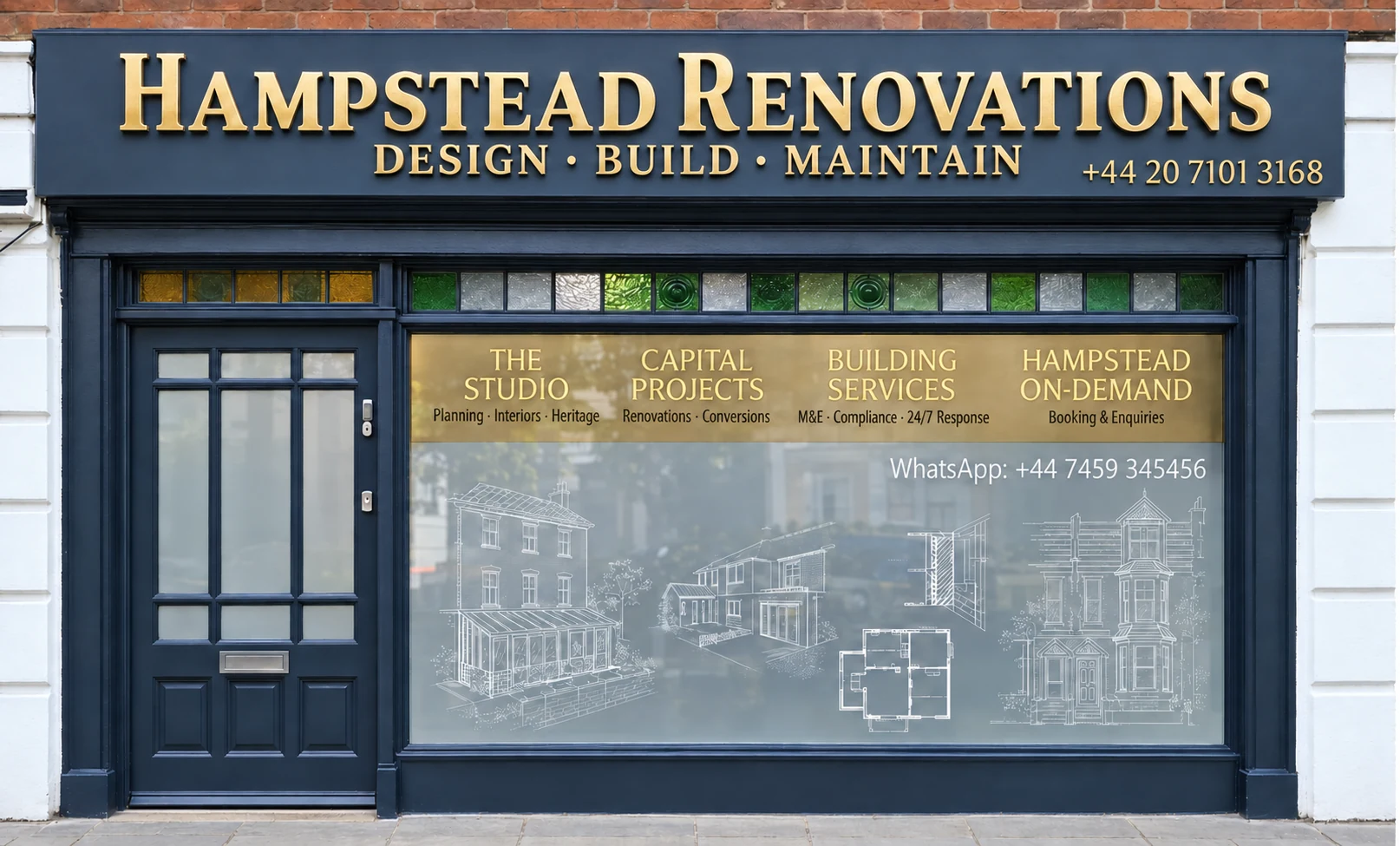
Hampstead Renovations design and build studio on Finchley Road
Our Hampstead studio · Finchley Road, NW3 6DN

Chorleywood projects

Choose the work your Chorleywood home needs

Chorleywood homes

What Chorleywood's houses are built like

Census 2021 counts Chorleywood in two wards that also take in Sarratt and Maple Cross. Chorleywood North & Sarratt held 2,633 households, 1,826 of them in detached houses. Chorleywood South & Maple Cross held 3,017: 1,179 detached, 998 semi-detached, 381 terraced and 404 in purpose-built blocks of flats.

The Neighbourhood Plan puts the same point in words: the parish has a significantly higher share of detached houses than the district, county or country, and more four- and five-bedroom properties than the national average.

The Station Estate is the clearest single layer. The council's 2005 appraisal records that James Beckley bought the land in 1894, divided it into plots and sold them to local builders, while Voysey, who lived locally at Orchard House, advised the builders' architects. A Victorian Society letter quoted in the appraisal calls the estate an excellent example of early surviving Hertfordshire Metroland.

Around the Common the grain is older and more rural. Its appraisal describes core buildings on the fringes ranging from the Medieval period to the Victorian and Edwardian, with Chorleywood Bottom keeping the character of the old village hamlet and most architectural detail belonging to the mid 19th century.

Towards the Chess, the Neighbourhood Plan describes the Loudwater Estate as a carefully laid out arrangement of houses, most with Arts & Crafts features, on a network of narrow roads with grass verges, and Outer Loudwater as the wooded valley beside the river, with some distinctive pre- and post-war houses, a number of them thatched.

The plan also records a trend of bungalows being replaced or converted into larger multi-level houses, and it names roads where it wants them kept, among them Wyatts Close, Bullsland Lane, Rendlesham Way, Furze View, Clements Road and Quickley Lane.

At the first visit we place the house in one of these groups. Everything else, from age and construction to the plot and its planning position, depends on that.

Sources: ONS/Nomis: Census 2021 TS044, Chorleywood North & Sarratt and Chorleywood South & Maple Cross wards; Chorleywood Parish Council / Three Rivers DC: Chorleywood Neighbourhood Plan (linked as Updated July 2026); Three Rivers District Council: Chorleywood Station Estate Conservation Area Appraisal (November 2005); Three Rivers District Council: Chorleywood Common Conservation Area Appraisal, 02 Planning History and Character and Appearance
Approvals

Checks a Chorleywood project goes through

Rules that apply across the district, such as the Green Belt floorspace test and the flood assessment's basement advice, live on our Three Rivers page. The cards below take them in the sequence a Chorleywood house meets them, with the parish layer on top.

Who decides

Our London team, in-house architects, designers and structural engineers working with Hampstead Chartered Surveyors & Building Consultancy, takes on projects in Chorleywood. Planning applications here are decided by Three Rivers District Council, which assesses them against the Chorleywood Neighbourhood Plan as well as Three Rivers Core Strategy (adopted 17 October 2011) and Development Management Policies Local Development Document (adopted July 2013) and Site Allocations Local Development Document (adopted 2014).

The Neighbourhood Plan

Approved in 2021 after the referendum of 6 May that year, it covers the parish and the period 2020 to 2035. Every application is expected to take Chorleywood's Special Characteristics into account: its rural character, its assets of local significance and its variety.

Conservation area or not

Four conservation areas lie inside the parish: Chorleywood Common, Chorleywood Station Estate, Loudwater Estate and Outer Loudwater Estate, with Heronsgate bordering it to the south. In any of them the householder rights for side extensions, rear extensions of more than one storey and roof additions fall away.

Green Belt

Metropolitan Green Belt is part of the parish, the plan records, and the Common appraisal puts a large proportion of that conservation area inside it. There, the Development Management Policies refuse any extension disproportionate in size to the original building; the council's guidance also normally rejects a cumulative floorspace increase of over 40%.

Building regulations

Building control in Three Rivers is provided by Hertfordshire Building Control. Instead, an owner may appoint a private registered building control approver, which then gives the council an initial notice of the work.

Neighbours and trees

Notice goes to the neighbour first for work on the shared boundary, for any cutting into a party wall, and for digging below their foundation level. A tree in a conservation area with no preservation order still needs a section 211 notice to the council before certain work.

Sources: Three Rivers District Council: SPG No.3 Extensions to Dwellings in the Green Belt (August 2003); Three Rivers District Council (JBA): Level 1 Strategic Flood Risk Assessment 2026; Three Rivers District Council: Development Plan (Current Local Plan); Three Rivers District Council: Chorleywood Neighbourhood Plan Decision Statement (Regulation 18(2)); Chorleywood Parish Council / Three Rivers DC: Chorleywood Neighbourhood Plan (linked as Updated July 2026); legislation.gov.uk: GPDO 2015 (SI 2015/596), Schedule 1 Part 1, Article 2(3) land (latest available revised); legislation.gov.uk: GPDO 2015 (SI 2015/596), Schedule 2 Part 1, development within the curtilage of a dwellinghouse (latest available revised); Three Rivers District Council: Chorleywood Common Conservation Area Appraisal, 06 Audit, Development Criteria and Management Strategy; Three Rivers District Council: Development Management Policies LDD (adopted July 2013); Three Rivers District Council: Building control; GOV.UK: Building regulations approval - when you need approval; GOV.UK: Building regulations approval (printable guide); GOV.UK: Party walls and building work - work you must tell your neighbour about; GOV.UK: Tree Preservation Orders and trees in conservation areas (planning guidance)

Local policy

Chorleywood Common, the Station Estate and the National Landscape edge

The Core Strategy names Chorleywood a Key Centre and asks for the local distinctiveness of its historic core to be conserved and enhanced. Neighbourhood Plan Policy 1.1 asks that work in a conservation area preserves or enhances it, in materials its appraisal supports, and Policy 1.4 protects the setting of each area and the views into and out of it.

Chorleywood Common

Designated in 1976 with a minor amendment in 1991, it reaches from east of Dog Kennel Lane to Chorleywood Bottom, and from Chorleywood House across to Homefield Road, taking in the whole Common. Its Article 4(2) direction brings alterations to windows, chimneys, front boundaries and hardstanding, permeable surfaces included, under planning control. The appraisal counts 27 listed or locally listed buildings.

Chorleywood Station Estate

First designated in 1990 and appraised road by road: Shire Lane, Haddon Road, Hillside Road, South Road, Berks Hill and Quickley Lane. Of its 203 houses only 40 came later. The 2005 appraisal says front-garden hardstanding needs permission under an Article 4(2) direction, and the council's page lists an Article 4 document for the estate, so we read its terms for each address.

Loudwater Estate and Outer Loudwater

Both lie inside the parish. The Neighbourhood Plan describes Arts & Crafts houses on narrow, verged roads, and an outer belt along the Chess valley where a number of houses are thatched; its annex records Article 4 directions covering both.

Heronsgate, next door

Designated on 11 February 1993, south of Chorleywood and its Common: the settlement the Chartist Cooperative Land Society founded in 1846, with roads named after industrial towns. All of it is Green Belt, and its appraisal expects Green Belt policy, rather than conservation policy, to cap the size of extensions.

Chilterns National Landscape

National Landscapes are the legal areas of outstanding natural beauty. Natural England's map puts WD3 5SL and WD3 5SS, both in the Chorleywood North & Sarratt ward, inside the Chilterns one, and WD3 5HZ and WD3 5ET outside; its point for Chorleywood itself also falls outside. The Neighbourhood Plan places Chorleywood House Estate inside, with the Common outside but treated as if within, and Natural England has since cancelled its Chilterns boundary review.

Article 2(3) land

Houses in the conservation areas and inside the National Landscape stand on what the order terms article 2(3) land. Roof additions under Class B are then not permitted development, and the Class A limits tighten for side and two-storey rear extensions.

Neighbourhood Plan Policy 8.1 asks development on land next to the National Landscape not to intrude on it and to protect views and access, and Development Management Policy DM7 covers proposals within or near it, with the Chilterns Buildings Design Guide on flint, brick and roofing materials as the council's reference.

The National Landscape boundary runs through the parish, so we check it on Natural England's map for each address rather than assume either way.

Sources: Three Rivers District Council: Core Strategy (adopted 17 October 2011); Chorleywood Parish Council / Three Rivers DC: Chorleywood Neighbourhood Plan (linked as Updated July 2026); Three Rivers District Council: Chorleywood Common Conservation Area Appraisal, 02 Planning History and Character and Appearance; Three Rivers District Council: Chorleywood Common Conservation Area Appraisal, 06 Audit, Development Criteria and Management Strategy; Three Rivers District Council: Chorleywood Common conservation area; Three Rivers District Council: Chorleywood Station Estate Conservation Area Appraisal (November 2005); Three Rivers District Council: Chorleywood Station Estate conservation area; Three Rivers District Council: Heronsgate Conservation Area Appraisal (April 2012); MHCLG (GOV.UK): NPPF Annex B, Glossary (August 2026); Natural England: National Landscapes (AONB) England feature service, point query at WD3 5SL; Natural England: National Landscapes (AONB) England feature service, point query at WD3 5SS; postcodes.io (ONSPD-derived): postcode WD3 5SL; postcodes.io (ONSPD-derived): postcode WD3 5SS; Natural England: National Landscapes (AONB) England feature service, point query at WD3 5HZ; Natural England: National Landscapes (AONB) England feature service, point query at WD3 5ET; Natural England Open Data: Areas of Outstanding Natural Beauty (England), point query at the OS Open Names point for Chorleywood; Chilterns National Landscape (Chilterns Conservation Board): Chilterns National Landscape Boundary Review (page last updated 25 June 2025); legislation.gov.uk: Town and Country Planning (General Permitted Development) (England) Order 2015 (SI 2015/596), article 2 (latest available revised); legislation.gov.uk: GPDO 2015 (SI 2015/596), Schedule 1 Part 1, Article 2(3) land (latest available revised); legislation.gov.uk: GPDO 2015 (SI 2015/596), Schedule 2 Part 1, development within the curtilage of a dwellinghouse (latest available revised); Three Rivers District Council: Development Management Policies LDD (adopted July 2013)

Building fabric

Building types in Chorleywood and what they mean for the work

Each group of houses raises its own survey questions. These are the ones we put first when we walk a Chorleywood house.

Station Estate Arts and Crafts

What should survive a refurbishment on the Station Estate?

The appraisal lists long, steeply pitched roofs, crows feet on the eaves, rendered walls with windows set high under them, bold chimneys, porthole windows and timber sliding sashes, in brick, clay, natural slate, cast iron and timber.

We draw these in the measured survey and design around them, repairing sashes and cottage doors before anyone suggests replacing them.

Houses facing the Common

What matters most on a house beside the Common?

The Common appraisal says original timber windows and features such as chimneys play an important role, notes brick and flint walls marking the old estates, and lists replaced doors and windows among the losses.

Under the Article 4(2) direction those windows and chimneys need permission to change, so we survey them before any scheme exists.

Chartist cottages at Heronsgate

How were the first Heronsgate houses built?

The original houses were simply rendered under slate roofs, and the appraisal finds most of them since altered, with many plots subdivided and new houses added.

We trace the first cottage inside the later additions before proposing anything new.

Painted and rendered brick

Can the brickwork be painted or rendered?

The Station Estate appraisal found brick rendered and painted in a number of places, to the detriment of the frontages. On article 2(3) land, Class A does not cover cladding the walls in tiles, timber, render or stone.

We repair and repoint brick rather than cover it.

Bungalows in groups

Can a Chorleywood bungalow gain an upper floor?

Where bungalows stand in a group, Neighbourhood Plan Policy 4.1 says applications will be assessed to keep housing suitable for older and disabled people, which will usually mean suitable bungalows are not converted into multi-level houses.

We check the road against the plan's list before any loft or upward scheme is drawn.

Hillside plots

How does the slope change the build?

The Station Estate appraisal calls the area very hilly and undulating, with views across rooftops and along small valleys between roads, and warns that seemingly insignificant views can be very important.

Slope decides retaining walls, drainage falls and where scaffold can stand, so we level the plot in the survey.

Sources: Three Rivers District Council: Chorleywood Station Estate Conservation Area Appraisal (November 2005); Three Rivers District Council: Chorleywood Common Conservation Area Appraisal, 02 Planning History and Character and Appearance; Three Rivers District Council: Chorleywood Common Conservation Area Appraisal, 06 Audit, Development Criteria and Management Strategy; Three Rivers District Council: Chorleywood Common conservation area; Three Rivers District Council: Heronsgate Conservation Area Appraisal (April 2012); legislation.gov.uk: GPDO 2015 (SI 2015/596), Schedule 2 Part 1, development within the curtilage of a dwellinghouse (latest available revised); Chorleywood Parish Council / Three Rivers DC: Chorleywood Neighbourhood Plan (linked as Updated July 2026)

On site

Access, parking and dropped kerbs in Chorleywood

The Neighbourhood Plan says parking in Chorleywood is difficult, particularly around the parade of shops, so our site plan starts with where vans, a skip and deliveries can stand.

Crossing a pavement or verge by car needs a dropped kerb approved and installed by Hertfordshire County Council, under the Highways Act 1980, and its policy asks for a driveway at least 2.7 metres wide and 5 metres deep. Planning permission is normally needed as well where the kerb comes off a classified A, B or C road; Rickmansworth Road, through the northern part of the Common conservation area, is the A404.

Front gardens carry conservation controls too. New hardstanding in the Chorleywood Common conservation area needs planning permission under its Article 4(2) direction, even in a permeable material, and the Station Estate appraisal says parking in front gardens has already cost walls and planting there. At Heronsgate the appraisal warns that the wish for wider driveways is removing important hedgerows.

Where a new surface is acceptable, the Neighbourhood Plan's flood policy names pervious hard standing as one way to keep water out of houses, and the Common appraisal asks that parked cars and new parking areas be kept to a minimum in the street setting of historic buildings.

Skip, scaffold and delivery positions are agreed with you before anything arrives; verges and hedges along the frontage are protected, and the pavement stays clear for neighbours walking past.

Sources: Chorleywood Parish Council / Three Rivers DC: Chorleywood Neighbourhood Plan (linked as Updated July 2026); Hertfordshire County Council: Residential Dropped Kerbs Policy, version 7 (8 May 2026); Three Rivers District Council: Chorleywood Common Conservation Area Appraisal, 02 Planning History and Character and Appearance; Three Rivers District Council: Chorleywood Common conservation area; Three Rivers District Council: Chorleywood Station Estate Conservation Area Appraisal (November 2005); Three Rivers District Council: Heronsgate Conservation Area Appraisal (April 2012); Three Rivers District Council: Chorleywood Common Conservation Area Appraisal, 06 Audit, Development Criteria and Management Strategy

Scope

Scoping a Chorleywood project before a quote

A quote only means something once the scope behind it is fixed. This is the order in which we fix it for a Chorleywood house.

  1. Feasibility visit

    You show us the house and garden and what you want changed; we note age, construction and how a van reaches the door.

  2. Address checks

    Conservation area, Article 4 direction, National Landscape line, Green Belt, the plan's bungalow roads and surface water risk are confirmed for the property.

  3. Measured survey

    Our surveyors record the existing house in plan, section and elevation, with roof void, chimneys and original windows.

  4. Drawings

    Drawings follow the planning path open to that address, using householder rights where they truly apply and otherwise a full application with the supporting documents the council requires.

  5. Engineering and sign-off

    Our structural engineers size beams, foundations and drainage, and the building control body is chosen before anything is priced.

  6. Written scope

    Strip-out, structure, services, finishes and making good are listed item by item, and the quote is priced line by line from it.

Ready to take the next step? Send the property address and a short outline of what you want to change.

Book a free feasibility visit

Our Hampstead base, serving Chorleywood

Talk to our Finchley Road studio

Our studio is in Hampstead on Finchley Road, at NW3 6DN. We serve Chorleywood from this office. Bring us the practical questions about your house, flat or bathroom and the result you want to achieve.

Contact the studio to discuss your brief and arrange the next step. If you already have drawings, a lease or planning correspondence, tell us what is available.

Book a free feasibility visit
Hampstead Renovations
Unit 3 Palace Court
250 Finchley Road
London NW3 6DN

020 7101 3168
contact@hampsteadrenovations.co.uk

Find our studio on Google Maps

Chorleywood's water

A village shaped by its slopes and surface water

The Neighbourhood Plan says the main flood risk in Chorleywood, because of its topography, is surface water, and that a number of areas across the parish are shown at high risk. The 2026 flood assessment traces a flow path along a dry valley from Chorleywood to Rickmansworth, ponding where a railway embankment crosses it.

The record is local. The plan recalls serious flooding twice in the early 1990s, mostly along Lower Road and Chorleywood Bottom, after which run-off from the higher Common was reduced and a large tank was installed under its lowest part. The assessment lists surface water flooding Green Street in 2013 and 2014, and heavy rain closing the A404 from Chorleywood to Rickmansworth in September 2024.

Sewers count as well. The assessment names Chorleywood among the settlements with the greatest historic risk of sewer flooding, and Policy 12.1 asks plans in high-risk areas to show how water ingress and surface water drainage will be mitigated.

That sets our order of work here. Floor levels, soakaways and anything below ground are designed once the surface water position of the plot is known, and infiltration is tested on site rather than assumed.

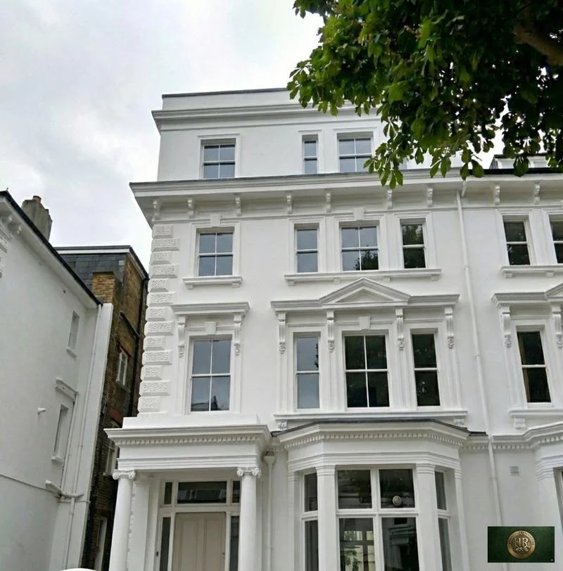
Outside Chorleywood, and in London rather than Hertfordshire: Project example: Belsize Park, NW3. That project of ours is a Victorian townhouse of five storeys; its case study records a basement conversion, a rear extension and loft work, carried out together with a full refurbishment of the interior.

Sources: Chorleywood Parish Council / Three Rivers DC: Chorleywood Neighbourhood Plan (linked as Updated July 2026); Three Rivers District Council (JBA): Level 1 Strategic Flood Risk Assessment 2026; Hampstead Renovations: Belsize Park Gardens, NW3 case study

Chorleywood questions

Renovating in Chorleywood: questions we are asked

Does the Chorleywood Neighbourhood Plan apply to my home?

It applies across Chorleywood parish, the area it was approved for after the referendum of 6 May 2021, and Three Rivers District Council uses it to assess planning applications there. It runs to 2035 and asks every application to show how it respects Chorleywood's rural character, its local assets and its variety. If your work needs planning permission, its policies sit alongside the district's.

Is my house in the Chorleywood Common or Station Estate conservation area, and what do their Article 4 directions cover?

Chorleywood Common runs from east of Dog Kennel Lane to Chorleywood Bottom and from Chorleywood House to Homefield Road; its Article 4(2) direction needs planning permission for changes to windows, chimneys, front boundaries and hardstanding. The Station Estate is appraised road by road along Shire Lane, Haddon Road, Hillside Road, South Road, Berks Hill and Quickley Lane, and its 2005 appraisal says front-garden hardstanding needs permission under an Article 4(2) direction. We confirm the boundary and the direction's wording for your address.

Is part of Chorleywood in the Chilterns National Landscape?

Yes, part of it. Natural England's map places WD3 5SL and WD3 5SS inside and WD3 5HZ and WD3 5ET outside, and the Neighbourhood Plan places Chorleywood House Estate inside. A house inside it counts as article 2(3) land, losing the householder rights for roof additions and side extensions, so we check the line for every address.

What is Three Rivers' Green Belt test for an extension near the Common?

A large part of the Chorleywood Common conservation area is Green Belt. There the Development Management Policies do not permit extensions disproportionate, individually or cumulatively, to the original building, and the council's Green Belt guidance treats a cumulative floorspace increase of over 40% as normally unacceptable, measured from the house as first built or as it stood in 1948. The full wording is on our Three Rivers page.

How do surface water and sewer flooding affect a Chorleywood project?

Surface water is the main risk the Neighbourhood Plan names, and the 2026 flood assessment lists Chorleywood among the settlements with the greatest historic sewer flooding risk. Where an address is at high risk, Policy 12.1 asks plans to show how water ingress and surface water drainage will be mitigated, and the Environment Agency's flood map for planning gives the risk information an application needs.

Who signs off building regulations in Chorleywood?

Hertfordshire Building Control, which provides building control in Three Rivers, or, if you prefer, a private registered building control approver. Without that approval you would lack the certificates of compliance that a future sale may require.

Who builds a dropped kerb for a Chorleywood driveway?

Hertfordshire County Council: under the Highways Act 1980 you may not drive over a pavement or verge until it has approved and installed one, and its policy asks for a driveway at least 2.7 metres wide and 5 metres deep. Off an A, B or C road such as the A404, planning permission is normally needed too, and inside the Chorleywood Common conservation area the new hardstanding needs permission as well.

What happens at a feasibility visit to a Chorleywood house?

We walk the house and garden with you, look at the roof, chimneys, windows and drainage, and hear what you hope to change. Afterwards we check the conservation area, National Landscape, Green Belt and Neighbourhood Plan position for the address and tell you which planning route the work would take.

Independent
Surveying
Hampstead Renovations operates alongside Hampstead Chartered Surveyors & Building Consultancy — an RICS Regulated firm providing chartered building surveying, under shared directorship.

Book a free feasibility visit

Hertfordshire overview
Renovations in Hertfordshire →

See how Chorleywood fits within our wider Hertfordshire pages.

Full Service Directory

Pages for Chorleywood

Every service page we publish for Chorleywood.

Chorleywood

House Refurbishment in Chorleywood →

Chorleywood

House Extensions in Chorleywood →

Chorleywood

Kitchen Renovation in Chorleywood →

Chorleywood

Bathroom Renovation in Chorleywood →

Chorleywood

Loft Conversions in Chorleywood →

Chorleywood

Basement Conversions in Chorleywood →

Chat with us!